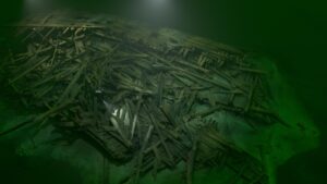
The EIVA Navimodel software is the market leader in the survey industry. Our 3D scanned data is directly compatible with EIVA and can be used for ROV navigation in 3D environment, hydrography and more. The data can be supplemented with MBES and imported both as DTM, point cloud, and 3D model. This opens up new opportunities for our customers as our data is compatible with software used operationally by most survey companies. The level of detail on point clouds is far superior to acoustic instruments such as MBES.
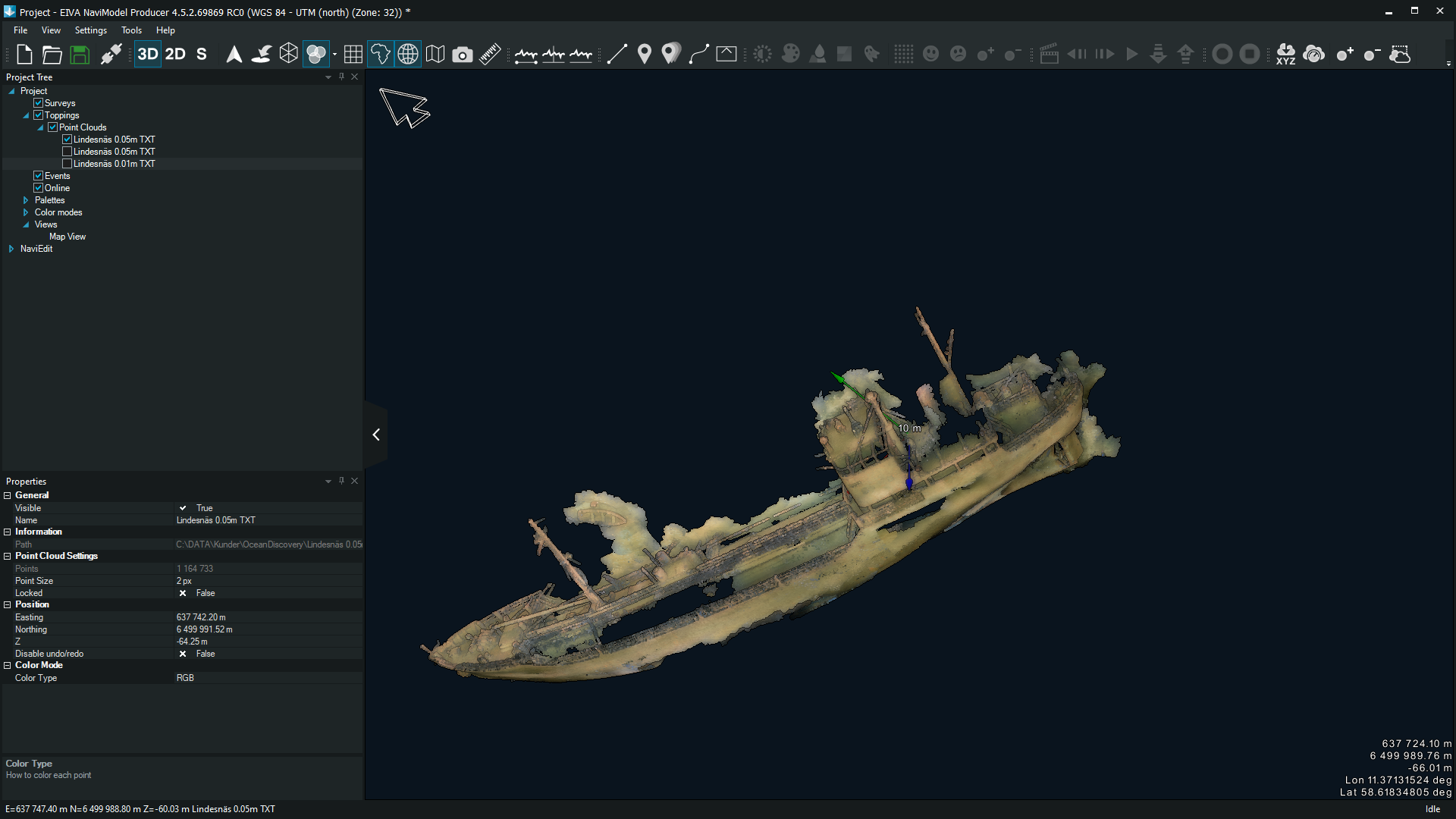
Detailed point clouds in EIVA
- Post author:admin
- Post published:29 March, 2021
- Post category:Uncategorized
- Post comments:0 Comments
